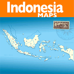
Geography
The southeast province consists of the southern and southeast part of Sulawesi Island and some small Islands surrounding. It is situated in the South of Equator, between 3o and 6o of South Latitude, and between 120o 45' and 124o 06' of East Longitude.
Total peninsula area and the province island are about 38,140 square kilometers, and the sea is about 110,000 square Kilometers, with border area:
North side: South Sulawesi and Central Sulawesi
East side: Banda Sea
South side: Flores Sea
West side: Bone Gulf
AREA AND LOCATION
The province consist of four regencies, one municipality and an administrative municipality, which area of each region as follows:
Regency of Kendari ..............................16,319 sq. Km. (42,8 %),
Regency of Kolaka ...............................10,310 sq. Km. (27.0 %),
Regency of Buton ................................6,242 sq. Km. (16.4 %),
Regency of Muna .................................4,887 sq. Km. (12.8 %),
Municipality of Kendari .........................161 sq. Km. (0.4 %),
Administrative Municipalities of Bau-Bau ......221 sq. Km. (0.6 %),
TOPOGRAPHY
Topography of Southeast Sulawesi is dominated by hills. There is some lowland plain between hills, and these are potential for agriculture activity.
GEOLOGY
The geological condition of the province consists of sediment rocks are about 67.64 %, metamorphoses rocks about 19. 78 % and coagulated rocks is 15.58 %. The general soil type is red yellow podzolic.
HYDROLOGY
Southeast Sulawesi has many rivers, such as; Lalindu, Lasolo, Konaweha, Lahumbuti, Lawe Roraya, Rante Angin, Poleang, Meeta, longkowala, Kambara, kabongka, Towari, Oko-Oko, Sampolawa, etc.
Konaweaha river has stream's flow as about 200 m3 / sec. It has built Wawatobi Dam on this river, which is expected to irrigate the rice-field of up to 18,000 Ha. The Lalindo, Lasolo and Konaweha are very potential rivers for hydroelectric power. To set up the Industrial sector in the near future we need to supplied by PLN (State Electric Company), but in general for household consumers.
There are also some swamplands in this region; such as Aopa swampland with total area about 32,800 Ha and Tinonda Swampland with total about 1,240 Ha. The swampland and the rivers (e.g. Lahumbuti) can be use as water resource for agriculture development, hydroelectric power and as tourism object.

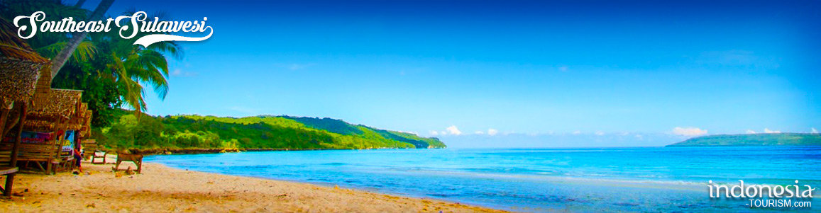
Diving at Sombu Beach, Wakatobi’s Underwater Paradise
Traveling to Wakatobi, Southeast Sulawesi, is not complete without trying diving or snorkeling tours. The reason is, Wakatobi is known for its white sand and clear sea. One of the famous spots in Wakatobi for diving is Sombu Beach. This white sandy beach with a row of coral reefs is always hunted by tourists. Sombu Beach is located in Wangi-Wangi District. The distance is about 30 minutes from Matahora Airport, or 20 minutes from the city center. At first glance, this coastline does not look so long. Even so, the…
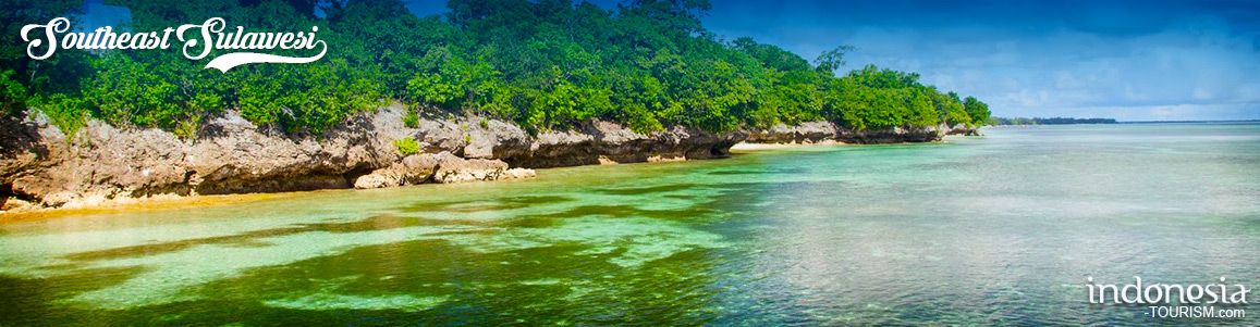
Hoga Island, Beautiful Islands Belongs To Wakatobi
Hoga Island is one of the beautiful islands belongs to Wakatobi Islands region, Southeast Sulawesi or commonly referred to as Wakatobi Islands National Park. Has an area of ??about 1,390,000 ha which is a combination of several other islands, Hoga Island is located east of Kaledupa Island. Besides Kaledupa Island, there are also a number of other small islands nearby such as Tomia Island, Wangi-Wangi Island, Binongko Island and Kapota Island. Access to get to Hoga Island can be started from Kendari or Bau-Bau first, then just cross to Hoga…
Tangkeno Village, Bombana Tourism Icon
Bombana Regency in Southeast Sulawesi Province is currently improving its tourism potential in order to compete with other tourist destinations in the archipelago. The regency covering ??2,845.36 km2 area with Rumbia as capital city and has natural resources of mine which is being sought after by investors. Bombana also has rich cultural, nautical beauty, natural panorama and historical heritage that still neatly stored. Registered as a tourism village, Tangkeno receives district government support to maintain its natural landscape, including the springs that flow across the island. Tangkeno has long been…
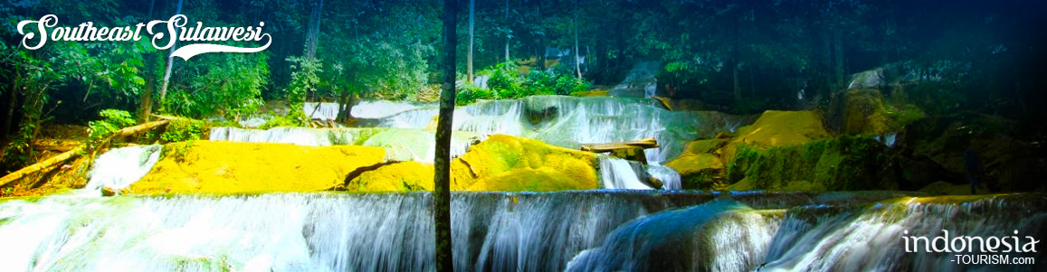
Moramo Waterfall, The Fairies Bathing Palace
Moramo Waterfall is located in Tanjung Peropa Nature Reserve Region. Precisely located in the Sumber Sari Village, Moramo Subdistrict, Konawe South Regency, South-East Sulawesi, Indonesia. Moramo Waterfall is an amazing nature gift for Konawe Selatan Regency, South-East Sulawesi, which has seven stages of waterfall where the place of water flowed freely. According to the story that developed in the community, this place was believed as the fairies bathed place that descended from heaven. Moramo Waterfall is the beautiful stratified waterfall (cascade) with height around 100 meters. From this height, the…