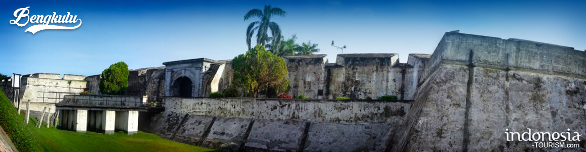
Bengkulu Province
Geographically
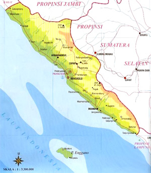
Geographically, Bengkulu is located between 2o and 5o South Latitude and between 101o and 104o Eastern Longitude. This Province is bordered by: East Side: Jambi Province West Side: Indian Ocean South Side: Lampung Province and Indian Ocean North Side: West Sumatra Province
Administratively
Bengkulu Province is divided among 1 municipality and 3 districts, with Bengkulu as its capital city.
Temperature
Its humidity is 87% and the rainfall ranges 3,598 mm per year. The temperature of this area ranges between 22.2o C and 31.1o C.
Demography
Bengkulu Province has an indigineous community consisted of Manna, Muko-Muko, and Minang. A transmigration program supports a migration flow to this province. The population density of this province was 68 people per Km2. Compared to the average national population growth amounted to 2.144% per year; this province was on the higher level with 3.42% per year in the 1990-1994.
Wide Area
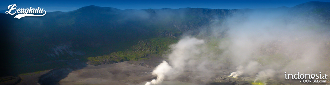
Bengkulu province area is 21,168-sq.km widths. Bukit Barisan mountain range constitutes its northeastern border, beyond which lie in South Sumatra and Jambi provinces.

Danau Dendam Tak Sudah
Danau Dendam Tak Sudah (DDTS), can be translate with Never Ending Revenge lake is one of famous destinations in Bengkulu. This lake is settle in Dusun Besar village, Singaran Pati sub-district, Bengkulu and has an area of 557 and 67 hectare wide. The lake thought to have formed from volcanic activity in the area. By located in the strategic importance, in 1936 this lake was established as a nature reserve with an area of 11.5 hectares by the Dutch government. Then, in 1979, this nature reserve area has been expanded…
Seven Colors Lake – Bengkulu
Danau Tujuh Warna Danau Tujuh Warna or Seven Colors Lake is located in Sumber Bening Village, Rimbo Pengadan, Bengkulu. Lake of Seven Colors can be taken approximately 35 km from the town of Muara Aman. Along the road to the location we’ll be found many residents, a verdant tropical rain forests and hills which is the extend rows that can be seen from a distance. These hot springs contain lake which and represent the seven colors of Blue, Red, White, Grey, Yellow, Brown and Black. The huge lakes are those…
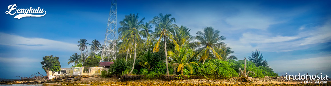
The Imposing Tikus Island – Bengkulu
Tikus Island Tikus island or Mouse island is a small island that located on Bengkulu coastal waters and it part of Bengkulu province. This island is precisely located in west side of Bengkulu town. To reach this island, the visitors can ride the rental fisherman boat from Zakat beach or Tapak Pader beach, it takes 45 minutes. This island is clean and having beauty natural sightseeing, especially the water, which is very clear and sparkling. The visitors may see some fishes swimming around the coral which surround this small island…
Enggano Island, Just Like Any Tremendous Islands In Indonesia
Enggano Island Enggano Island is about 100 km southwest of Sumatra, Indonesia. It is about 35 km long from east to west and about 16 km wide from north to south. Administratively, it located on the North Bengkulu Regency. The three largest towns on the island are Barhau, Kabuwe and Kayaapu. The name of the island suggests some early contact with Portuguese traders (engano means disappoint), but the earliest published account was that of Cornelis de Houtman, dating from June 5, 1596, but he was unable to land a boat.…