North Maluku
TRANSPORTATION
Air and sea transportation are the main means, which link the islands together. Good roads on the islands provide easy access to the often-remote places of interest.
CLIMATE
There are two seasons that are suitable for sailing to these islands: February-March and October-November, when the wind and the waves are low.
GEOGRAPHICALLY
The boundaries of North Maluku is:
East Side: Halmahera Sea
West Side: Maluku Sea
North Side: Pacific Ocean
South Side: Seram Sea
WIDE AREA
The wide area of North Maluku Region is 164.370,12 Km2.
DEMOGRAPHY
The population of North Maluku is 870,000 (according to the National Socio-Economic Survey, 2004, making it the least populous province in Indonesia. The Tribes are: Module, Pagu, Ternate, Makian Barat, Kao, Tidore, Buli, Patani, Maba, Sawai, Weda, Gne, Makian Timur, Kayoa, Bacan, Sula, ange, Siboyo, dan Kadai. Galela, Tobelo, Loloda, Tobaru, Sahu. The religions that had developed in Maluku are Islam, Protestant, Catholic, Buddha, etc.
GOVERNMENT ADMINISTRATIVELLY
Maluku Province has 5 Regencies, 2 city, 45 districts, 650 villages and 80 sub-districts. They are:
- West Halmahera Regency
- Sula Islands
- South Halmahera Regency
- North Halmahera Regency
- East Halmahera Regency
- Ternate City and Tidore islands

Gurabunga Village, Tidore, North Maluku
Gurabunga village is one of tourism village in Tidore Island that interesting to be visited. The name of Gurabunga means flower garden. In fact, this place is being filled with flower that been planted in every corner of the people house. This village has chilling nuance and refreshing air, because it located in 800 meter above sea level. The inhabitants houses are settled in a fertile area at the slope of Kie Matubu Mountain that has 1730 meter above sea level. Kie Matubu is famous in North Maluku as Tidore…
Ternate and Tidore: Where The Cloves Made The History
Since early of the last millennium, the small islands of Ternate and Tidore in the Moluccas were the only source for cloves in the world. Indian, Arab, Chinese and Javanese merchants used to call on these islands to carry home this precious cargo which sold at exorbitant prices in Europe and the Orient. Cloves, together with nutmeg and mace from the Banda islands were used to flavor and preserve food, as medicines and even as aphrodisiacs. But after the Crusades, the trade route to the Far East was blocked for…
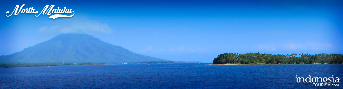
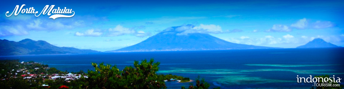
Gamalama Mountain, North Maluku
Gamalama Mountain is located in Ternate, North Maluku Province, Indonesia. Gamalama is one of the volcanoes in North Maluku Province. In addition to this mountain, there’s Mount Gamkonora in West Halmahera District, Mount Ibu and Mount Dakona residing in North Halmahera District, and Mount Kiebesi in South Halmahera. Gamalama itself is located on the island of Ternate and has a height of about 1715 m ASL (above sea level). Gamalama Mountain, which is also often referred to as the peak of Ternate, is a stratovolkano, the volcano high and conical,…
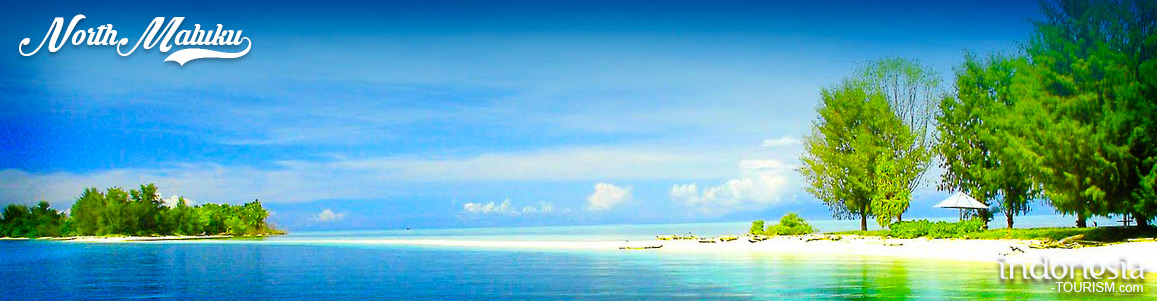
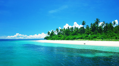
Tagalaya Island, North Maluku
In Tobelo, North Maluku, there is a beautiful island which totally promoted by the government; Tagalaya island. The island of Tagalaya is giving cleaning water as glass and natural view like paintings. The beauty of Eastern Indonesia is never get enough to be discuss. We all agree that Maluku have dozen islands and hundred of wonderful beaches. The beach and island in Ambon, Ternate, Halmahera and the others surely can interest thousand tourists to visit and enjoy the natural charming. An island in Tobelo will totally teasing you. Its sea…